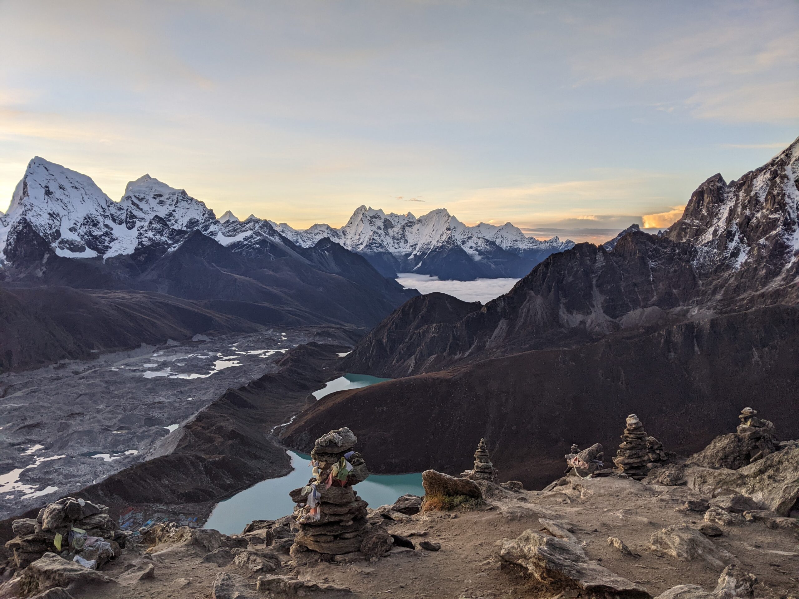
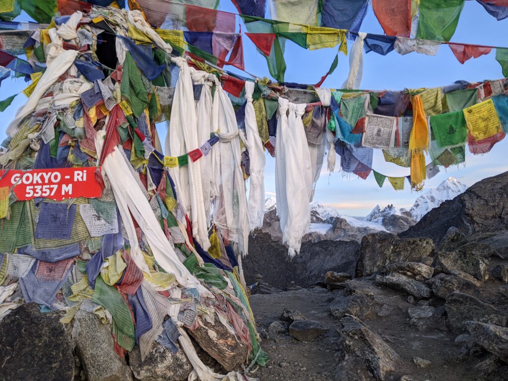
Image: sunrise from Gokyo Ri
Post 5 of 6
2 October 2022
Altitude was not a concept I had thought much about before this adventure. For most Australians I think altitude only gets serious in an aeroplane given our highest mountain, Mount Kosciusko, is a mere 2,228m. The severity of altitude is defined as low: 500m-2,000m, moderate: 2,000m-3,000m, high: 3,000m-5,500m, and extreme: >5,500m. (Mt Everest is 8,848.86m).
To give you an overview of our altitude experience, we started our trek at Lukla which sits at 2,869m. Our highest point was 5,555m at Chukkung Ri. We spent 13 days above 4,000m, and for 7 of those we were above 5,000m.
The thing to know about altitude is that as the altitude increases, there is less oxygen in the air. This means there is less oxygen available for your body, brain and muscles to work as they would normally. Being at altitude means it is hard to breathe, think and move. This article at The Conversation gives a short and simple scientific explanation of altitude if you are keen for more information.
If you are a low altitude dweller, moving to a moderate altitude of 2,500m can lead to altitude sickness. Initial symptoms include headaches, nausea and fatigue, and can become very serious = death. Altitude sickness can strike anyone; even the super fit can get it. The simplest way to try to avoid altitude sickness is to ascend to higher altitudes at a slow staggered pace. Advice varies, but generally the science says do not sleep higher than 300m-600m of where you slept the night before.
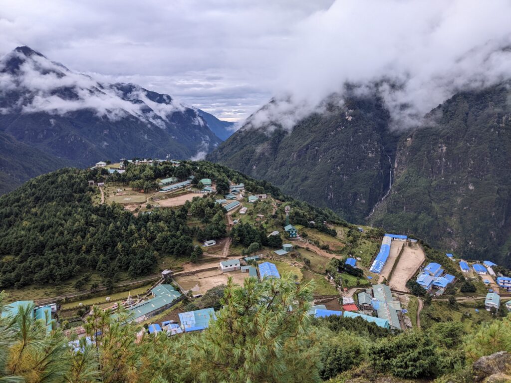
The army base is on the hill to the left, the school is the long blue roof with playground in front on the right.
Getting to Namche is the first big altitude milestone for trekkers, going from ~2800m to 3440m.
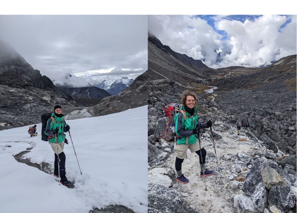
To be honest, we were quietly terrified of getting altitude sickness and so took every precaution we could. During our first night at Namche Bazaar 3440m, we both woke at 1am with headaches and felt nauseous and dehydrated. After much deliberation and advice from many people, we decided to take the altitude sickness drug Diamox as a preventative measure. Half a tablet twice a day, for the duration of our time at increased altitude. Hans did not experience any side effects from Diamox but I had a few which were interesting – tingly toes and fingers for up to 20mins at a time and minor hallucinations during the night. Weird!!
We carefully monitored our symptoms throughout the trek, particularly as we started to meet people who were suffering from altitude sickness and had to stop trekking as a result. The higher we got, the more people we met with stories of their fellow hikers, porters and even guides having to be evacuated and one person dying the day before.
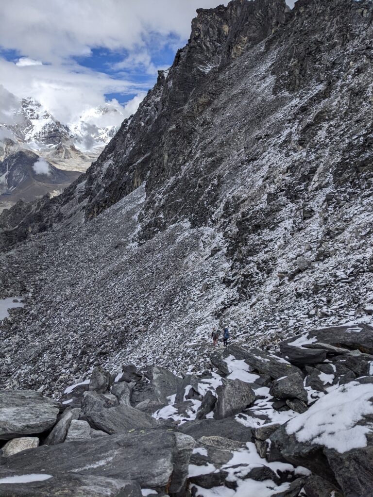
That is snow on loose rocks. You can see our 2 friends trying to find the path.
It took us ~3hrs to get down to the valley floor you can kind of see in the distance. Then we had to cross a glacier…
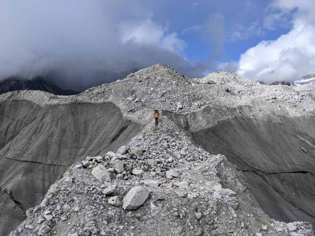
On each side of him, there is a sheer drop down to ponds/lakes of glacial water.
You don’t want to fall in, because help is a long way away and there is no way you can scramble up those walls of ice.
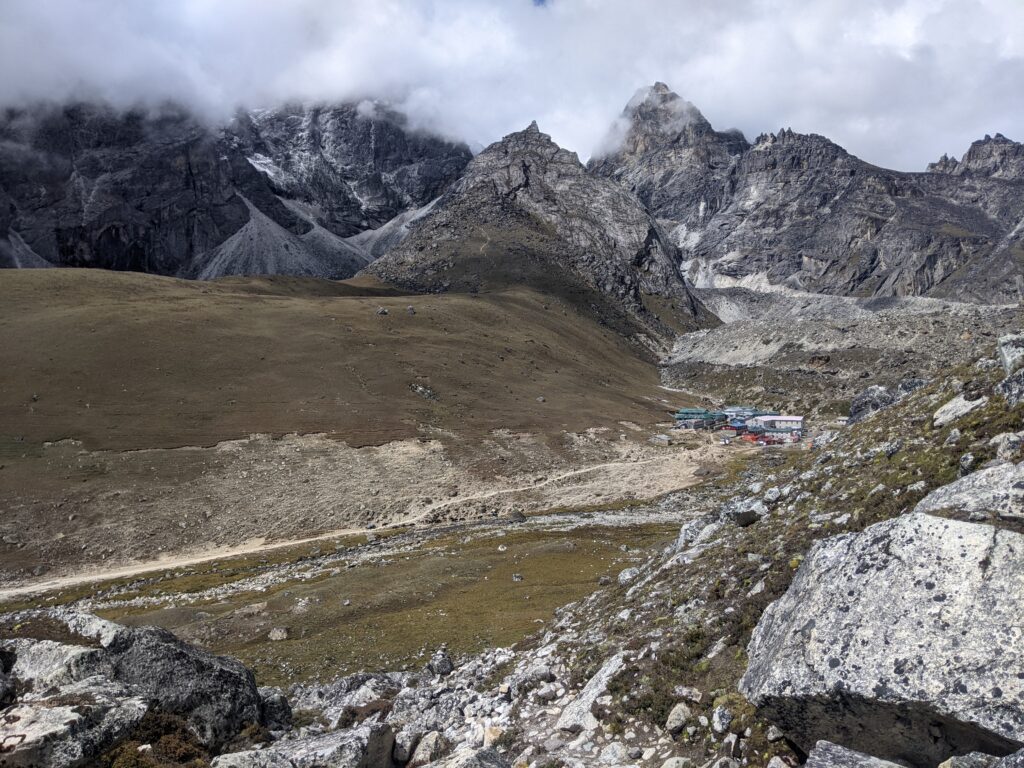
The black dots in the middle, is a train of yaks carrying cargo to the village
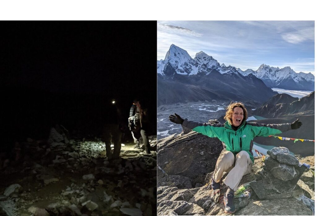
We were feeling fit otherwise and I had become best friends with the walking poles. It turns out the rest days on our itinerary just meant we were staying in the same village that night, there was no resting involved. Instead, by 5am we were already walking up a crazy steep mountain to watch sunrise as part of our acclimatisation process. These walks were between 5-6hrs return and I was very grateful that we started in the dark each time, because if I had been able to see the mountain before starting the walk, I am not sure I would have continued!
You can feel the effects of altitude immediately. For me, my brain felt lethargic more than my body. I was hardly hungry or thirsty, my bladder was in overdrive and my sinus’ played up. Sometimes I was trying to work out if I could walk and not breathe – to just do one at a time cause it was so difficult to do both! On the steep uphill treks, I would rarely stop walking because it was so hard to start again. It was easier to stay in the rhythm of very slow walking. My pace was a slow: one Plentinger, two Plentinger, three Plentinger…
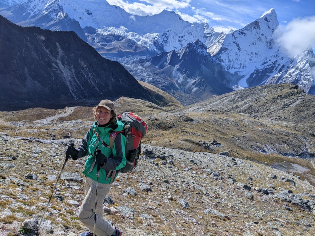
We had no way of measuring the temperature, but on the top of those mountains, in the crisp early morning, we were freezing. During the trek the temperature must have got up to 10-12 degrees Celsius some days, with overnight lows between -4-0 degrees. Perfect hiking weather. Turns out we had packed well, with the right layers of clothing to make sure we were comfortable all the time. Plus Hans had brought crampons and they were the best thing ever for walking on the ice and snow.
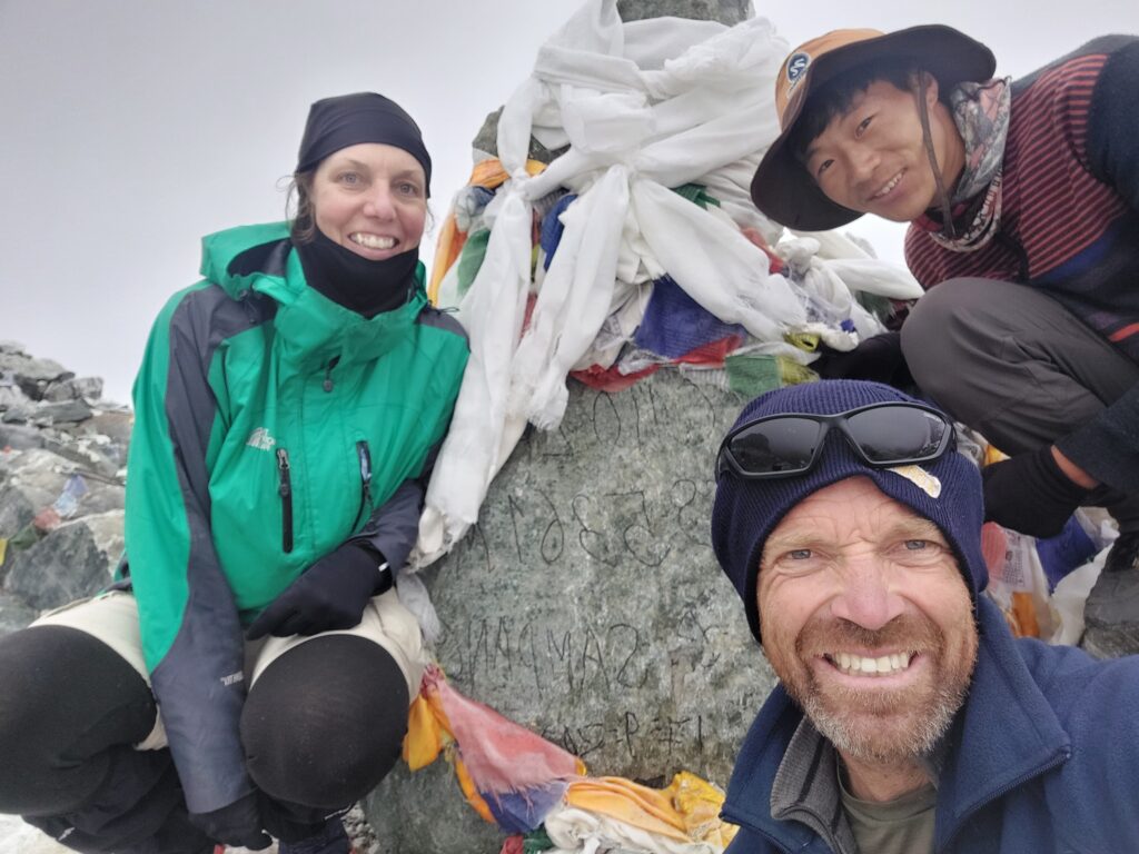
Despite the altitude, I was feeling pretty invincible. I would get to the end of each day and think about where I had been, what I had done and what I had seen, and feel proud of myself. Not once did I question why I was there or entertain a thought about quitting. All the training and research had helped prepare me physically and mentally. I enjoyed every day immensely and chuckled as I found muscles in places I didn’t know I needed muscles.
Other trekkers were not so game fit. I could see the mind game playing out on their faces as they walked. Not many had the energy (or interest perhaps) to say hello as they were so focused on breathing and walking. On the busier paths, there was also a racing game where I was pushed and shoved out of the way by groups of trekkers wielding elbows and walking poles in a commanding way, keen to get to their destination. We even met trekkers trying to work out ways to speed up their altitude acclimatisation to get the trek done…
Towards the end of our trek, as the tourist season started to ramp up, I came to understand why I was seeing so many “Horse on Hire” signs. I was overwhelmed by the number of people of questionable fitness or large girth, and who appeared to never have hiked before, let alone walked on a rough path. We spoke to a guide we had met a few weeks previously who was taking one of these groups. He explained that some tours now sell the trek to Everest Base Camp as a “walk this path from Lukla for a few days slowly, then sit on a struggling horse to go up the steep mountain to Namche Bazaar (4-6hrs), then get a helicopter and fly up near Everest and back to town” – what a trek! Tourism, hey…
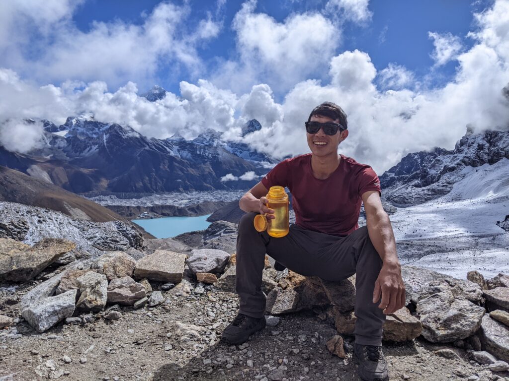
That’s Mt Everest peaking and peeking through the clouds.
It was our last view of Everest as we crossed the Renjo La Pass and headed down to Lungde 4368m.
