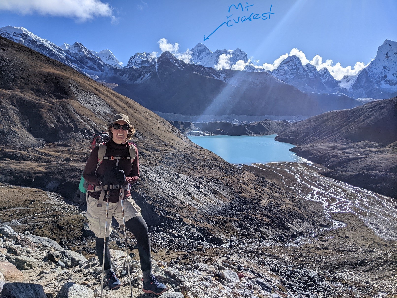
Image: me with Mt Everest & friends from Renjo La. The village of Gokyo is on the far side of the glacial lake.
Post 3 of 6
26 September 2022
Never had a thought about possibly seeing Mt Everest been remotely near my head. Mt Everest was one of those places that existed outside the scope of my lifetime. Almost like the moon. So our 3:50am start to climb 500m up to Kala Patthar 5643m, the best viewing point for Mt Everest, was surreal. The snow was thin on the ground and the air fresh and bitey. We were excited because the moon and the stars were bright and clear, meaning our chances of a cloudless sunrise were high. We were masters of the altitude by now, taking slow steps and slow deep breaths. The mountains around us all looked like they could be the highest mountain above sea level, reaching effortlessly into the sky as the light and colours of the day started to emerge. The world was silent except for our breathing, the ground crunching beneath our feet and the occasional fall of snow and ice in an avalanche far away somewhere in the mountains.
We had left at 3:50am because we knew tour groups were meeting at 4am to start their climb and we were keen to avoid their noise. Also, we seemed to be fitter than most and wanted to do the steep trek at our pace and ensure we were there for sunrise.
We had met trekkers who had finished their trek on this same path, who still had not seen Everest. The cloud cover had been consistently dense and stubborn for their entire time in the area so I was very grateful that as we got higher, we could see that a mountain directly to the east, our right, was starting to reveal itself as a formidable and impressive sight.
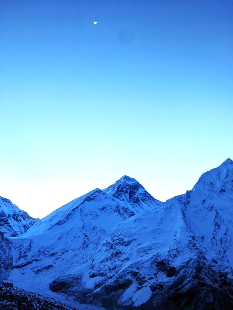
On the way up Kala Patthar, 5:30am
You can see the Khumbu Glacier running down between the mountains, heading to the bottom left corner of the picture before turning abruptly to the right and flowing down the valley. Climbers attempting to summit Mt Everest camp on the glacier and climb up the icefall. It is CRAZY dangerous.
Mt Everest is 8,848.86 metres high, as of 2020. The Nepal – China/Tibet border runs across the summit of Mt Everest so authorities from both sides of the border get to determine the official height of the mountain. The Tibetan name for the mountain is Chomolungma which means ‘Mother Goddess of the World’. The Nepali name is Sagarmatha, which has various meanings including ‘forehead of the sky’. In my opinion, both far more meaningful than ‘Everest’, particularly given Sir George Everest was apparently opposed to the use of his name as ‘Everest’ could not be written in the local language nor pronounced by a native of the area! (Wikipedia)

Mt Everest is the mountain in the centre in the background with less snow and kinda looks like the top of a volcano
That is Dev on the far left trying to keep warm
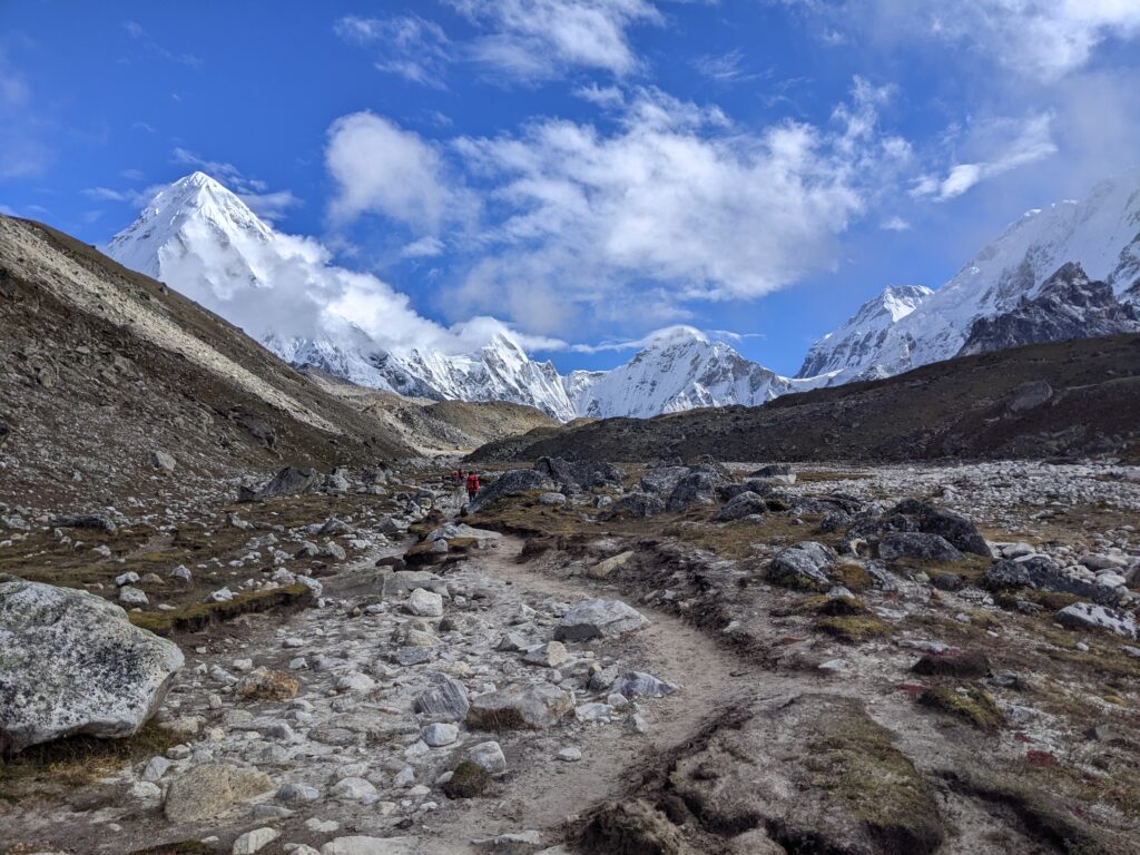
We were pretty excited about the view even from the valley floor!
The tiny collection of buildings that is Gorak Shep (5,164m) is the last stop before Everest Base Camp, which is about a 3hr walk directly north. There is zero vegetation this high up and no real reason to live here, so Gorak Shep is uninhabited outside the tourist seasons. Gorak Shep has evolved with the increase in tourists to consist of a handful of lodges, a health clinic and a few helicopter landing pads which provide critical emergency evacuation and rich tourist helicopter facilities.
Technically there is a tourist Everest Base Camp and a real Everest Base Camp. The real one requires an official permit and is mainly used during April and May – Everest climbing season. The climbing season is limited because it generally takes between 8-10 weeks to summit Mt Everest and return, and the extremely difficult snow, ice, weather and terrain conditions restrict climbers to Spring, before the Summer heat and the monsoon arrive.
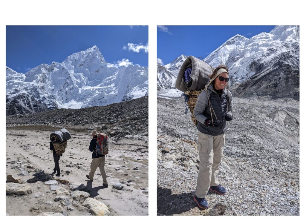
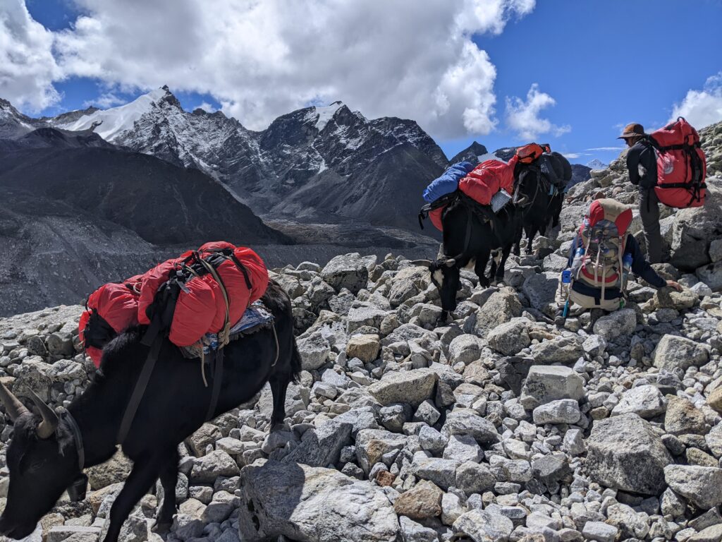
Dev was using the traditional carrying basket for his 15kg load.
I had a go – it was uncomfortable and painful on the head!
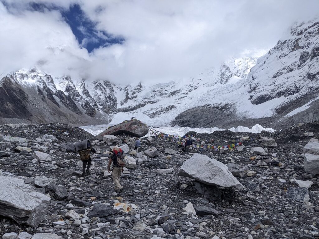
I had low hopes for tourist Everest Base Camp and my expectations were soundly met. Basically Everest Base Camp is a huge rock sitting amidst the rubble of rock and ice that is the Khumbu Glacier. Mt Everest is not visible from the valley floor, although the glacier tumbles down from the slopes surrounding Everest. Hans and Dev hired a tent and camped on the glacier for the night. Yep, they camped on pure ice… Fortunately there was only room for two!! The tent and rocks securing the pegs were covered in a thick layer of ice the next morning, but they both reported having a fabulous sleep. I slept well too in the comfort of the lodge back at Gorak Shep.
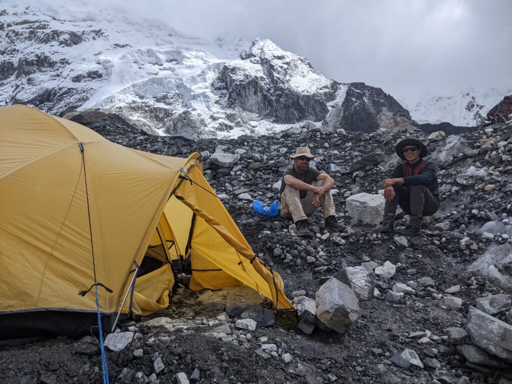
The glacier is generally covered in one layer of rock – you can see the ice to the right of the photo.
We met many trekkers who had Everest Base Camp on their personal lifetime achievement To Do lists. I still cannot understand why. Sitting at Gorak Shep, I watched tour group after tour group, march in and march out of Everest Base Camp, and then back down to Namche. I even met a group of American women who on returning from their visit to Everest Base Camp proudly declared that they weren’t going to bother seeing Mt Everest because Everest Base Camp was enough. One woman was tired of walking so forked out 500USD for a helicopter to fly her back to a nice hotel in Kathmandu. I am still in shock!
I know I am being judgemental but there is so much more to the Khumbu Region, the Himalayas and Nepal than Everest Base Camp. If you do intend to travel to the area, there are trekking companies who are focused on supporting the traditional culture and practices of the Sherpa people, and there are private organisations investing in environmental projects to manage the waste generated by the thousands of tourists and create opportunities for local people.
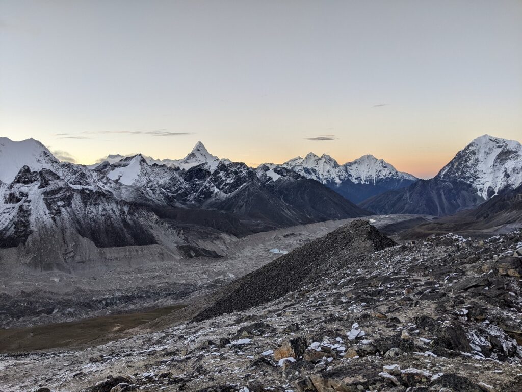
The Khumbu Glacier (the big grey line of rubble across the middle of the photo) runs for approx 10km down the valley
We had trekked over the mountain range on the other side of the glacier and across the glacier, then up the valley.
That is Ama Dablam being pointy in the middle.
